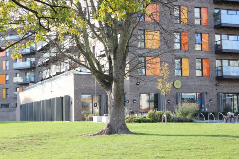
How much bomb damage did our streets around Bow sustain during the Blitz?
Maps provided by the London Metropolitan Archives show the extent of the bombing that East End Bow endured during World War Two.
From the very first air raid which occurred in the early hours between the 24 and 25 of August 1940, to the first ‘doodlebug’ that hit Grove Road on 13 June, 1944, Tower Hamlets was severely affected by German aerial bombardment.
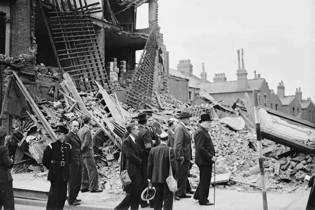
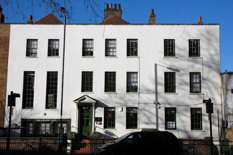
Some of our borough’s older residents will undoubtedly remember the relentless cycle of strikes and long nights spent in air raid shelters. However, even those of us who were born long after VE Day can still see the legacy of the bombing campaign in the surrounding area.
Between 1940 and 1944, it is estimated that over twelve thousand metric tonnes of bombs were dropped on London, with the East End often bearing the brunt of the suffering.
Anyone who commutes through the Bethnal Green Underground station will be struck by the Stairway to Heaven memorial. This award-winning art piece is a poignant reminder of the 173 civilian lives lost in a crowd crush when an anti-aircraft rocket was misidentified as an enemy bomb.
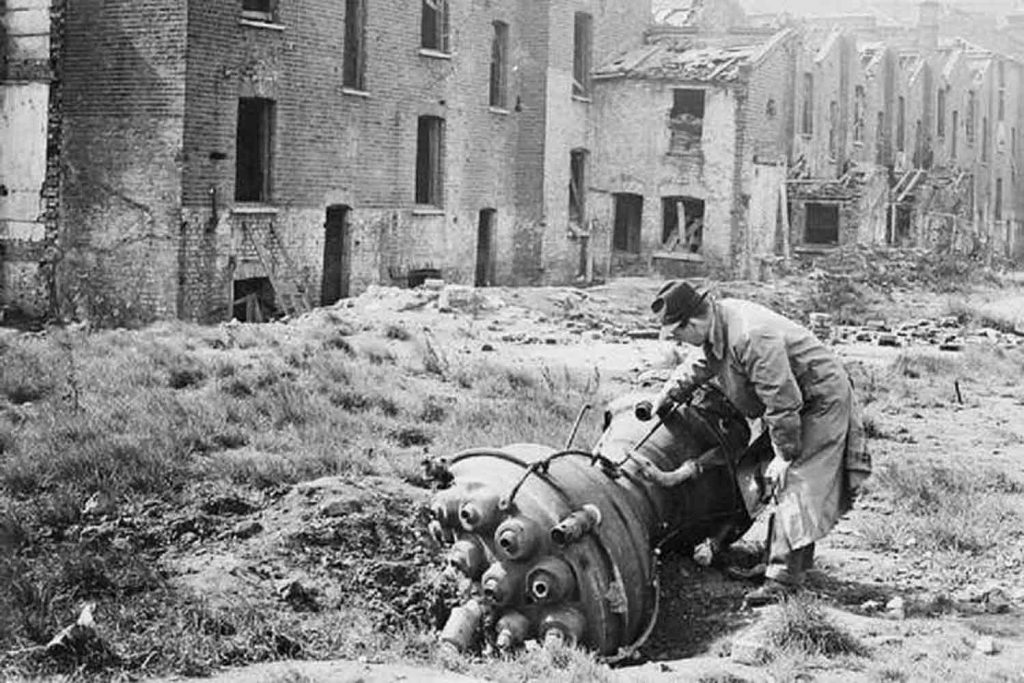
The German bombing campaign was so vicious that unexploded World War Two-era bombs are still being discovered in the 21st century. As recently as 2015, a 500 lb device was found at a construction site on Temple Street in Cambridge Heath. 150 people were evacuated from their homes while specialists worked overnight to defuse the bomb.
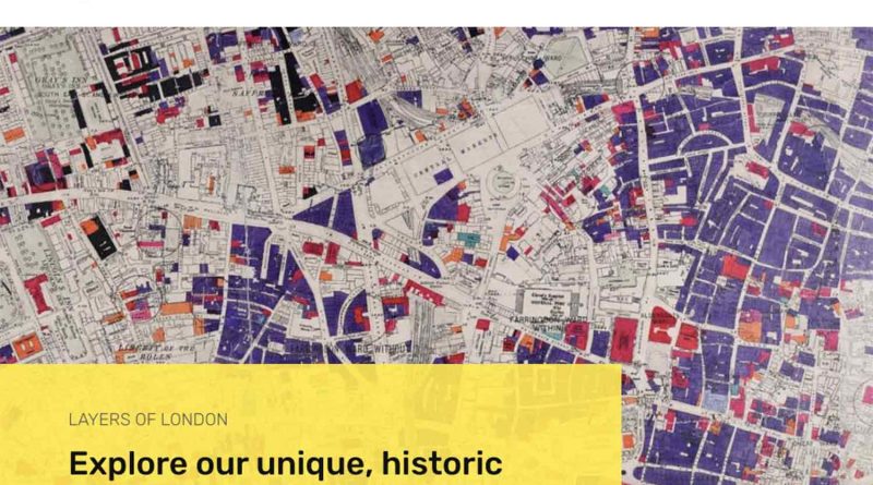
Bomb Damage Map
Was your home affected by the bombing? The London County Council Bomb Damage Map showcases the extent of the bomb damage within our area, allowing you to get a glimpse into what life was like during the war.
Provided free of charge by the website Layers of London, the map allows you to zoom in on an area of your choice, before setting the vintage bomb damage map as an overlay.
The map is colour coded based on the severity of the bomb damage. Black and purple indicate total destruction or damage beyond repair, while light green and yellow are reserved for clearance areas and minor blast damage. Different-sized circles are used to indicate V-1 and V-2 bombs.
Though many streets show patchworks of purple and black squares, others were notably spared from the worst of the violence.
In Bow, there are many streets that feature a collection of severely damaged houses, flanked by those which were inexplicably left unscathed. A collection of streets south of Roman Road and east of Cardigan Road are notable for sustaining almost no damage at all.
Some of the worst damage was concentrated in a block of houses east of Globe Town, that have since been replaced by Mile End Park. This section of homes sustained both a V-1 and a V-2 blast, and most of the buildings were marked black to indicate total destruction.
Despite this, however, mere steps away from these levelled homes, there are houses marked green and yellow.
In Hackney Wick, the southern portion of the area experienced the worst damage, with Trego Road being amongst the worst hit.
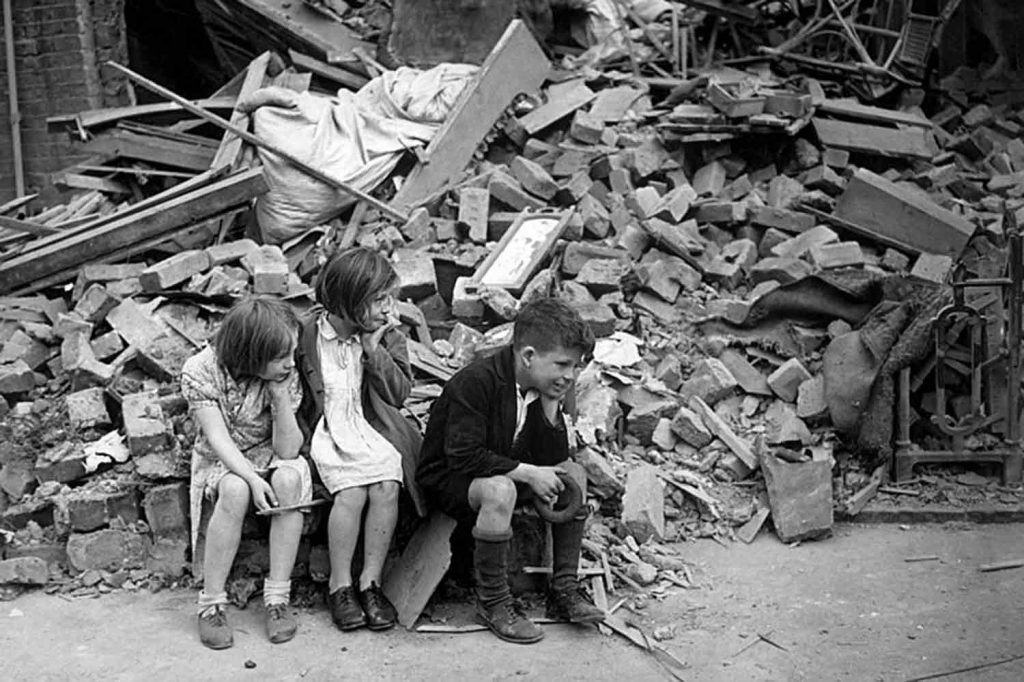
Much like it is today, the East End in the 1940s was a diverse working-class area which lacked many of the much-needed social provisions that were enjoyed in wealthier corners of the city.
Homes were often made from cheap materials that were unable to withstand even the weakest blasts and thousands of people were left temporarily homeless in the first few weeks of the war.
Innocent people, whose homes had been destroyed or severely damaged, moved into temporary shelters in tube stations. There, the resilience of East Enders captured the imagination of journalists and authors, whose accounts of the complexities of life in the shelters often veered into voyeurism.
Tools such as the Layers of London Bomb Damage Map, are invaluable to help us conceptualise the way Tower Hamlets residents adapted to life during the war.
If you liked this article, read our piece Charles Booth’s poverty map of London.


Your local news is at risk